We have long been supporters of East Bay Regional Parks. Many of these parks are free to enter, but supporting them by purchasing an annual pass is great. Individual memberships run $60 for a year (the price of three movies, or 10 fancy coffees). A family membership is $105. The wonderful thing about EBRP is that they have an extensive system which includes urban trails and parks, as well as more suburban parks. This promotes equity in the outdoors and makes these open spaces accessible to everyone, which is something that is really necessary.
EBRP also oversees two of the longer, linked trail systems we often find ourselves using. The California Riding and Hiking Trail is mainly a Contra Costa County trail system that links Mt. Diablo with Martinez, and will encompass 16 miles of trail. The Martinez-Concord section is already completed and will link to Mt. Diablo State Park in the future. The East Bay Skyline National Trail is part of the 1968 National Trail Systems Act. It begins at the Alvarado staging area in Richmond, and ends at the Proctor Gate station in Anthony Chabot regional park. We’ve hiked most of both of these trails and have found them quite interesting.
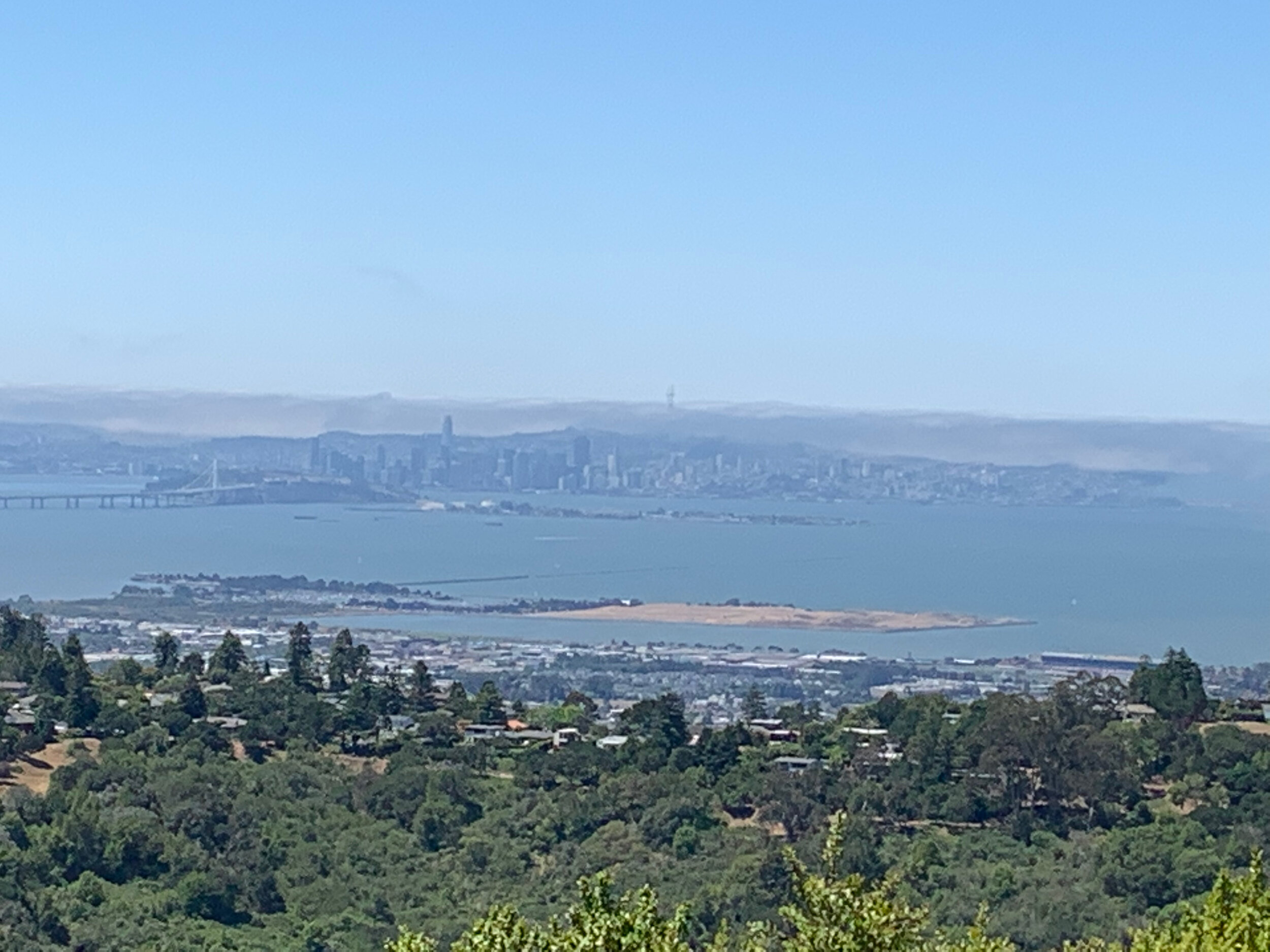
Other local trail systems include the scenic San Francisco Bay Trail, which is a planned 500 mile walking and cycling path around the entire bay, going through all nine counties, 47 cities, and seven major bridges. 350 miles are already in place. This project is also restoring wetlands around the Bay. They have a really cool navigational map that shows existing trails (whether paved or dirt) and planned trails. We’ve walked much of this trail system, too, including two bridges, and always enjoy these walks on days when it’s prohibitively hot in our neighborhood and we need the cooling influence of the Bay. The Bay trails are often flat, as well, offering an easier but longer walk, and there is always good wildlife viewing with shorebirds.
The Bay Area Ridge Trail, however, offers a completely different kind of hiking experience, taking walkers over the peaks that ring the Bay. This trail was the vision of William Penn Mott, Jr, who was Director of our National Park Service as well as EBRP and California State Parks. He wanted a 550 mile trail encircling the ridges of the Bay Area. 393 miles of trail have been established and they are all great, challenging miles! They have some neat trail maps and tools which include ‘curated’ trail adventures such as wheelchair accessible loops, or training ridge to bridge trails for those who want a challenge.
There is an interesting state trail system that we are just recently learning more about. This is the Mokelumne Coast-to-Crest Trail, which is planned to go all the way from the Bay to Yosemite. Currently three sections are complete: the East Bay/Contra Costa County section, the Camanche-Pardee Reservoir section, and the Upper Mokelumne River Canyon section. We have been on the Contra Costa section many times, as it winds through and over Mt. Diablo, Black Diamond, and Contra Loma parks. We are hoping to eventually get to the sections east of here and explore those, as well.
There are two interesting interstate trails here, one being (of course!) the Pacific Crest Trail, which runs from the Mexican border to the Canadian border, through California, Oregon, and Washington. We have been on a very short section of this trail when hiking in Yosemite, but other than that, this trail has been beyond our reach, as it runs through the interior mountain ranges and is primarily in wilderness. It has long been a dream of mine to hike this trail, and maybe we’ll have more time in the future to section hike portions of it, at least.
Another interstate trail which I have just recently discovered is the Juan Bautista de Anza trail, which is part of the National Park System and is a National Historic Trail. It runs through Arizona and California, following Juan Bautista de Anza’s route in 1775 as he established (colonized?) a settlement in San Francisco bay. I don’t know how much we should be celebrating the takeover of land from California Native Americans, but while we don’t need to honor questionable historic activity, we should certainly learn about it and face the truth of it, and what better way to do that then to walk those same paths?
The final trail that I want to bring to your attention is the American Discovery Trail, which runs from the West Coast to the East Coast, 6800+ miles of continuous multi-use track. It does run on some roads, but the organization is working to make the trail completely off-road in the future. It is not a wilderness trail, like the Pacific Crest Trail. It passes through cities, towns, farmland, and wild areas. It is meant to be a voyage of discovery of our country as a whole. On the website, you can find the trails in your state (if it passes through your state); the California portion starts in Pt. Reyes National Seashore, and goes right over Mt. Diablo, over to Lake Tahoe, so we’ve found ourselves on this trail many times.
We are lucky to live in the San Francisco Bay Area, a place that celebrates outdoor living year-round. That doesn’t mean the conditions are always idyllic (see my previous post), but it does mean that we are provided with a lot of opportunity to get out into nature, and explore. We have come to realize that this is extremely important to us, and it will dictate how we move forward into retirement (which isn’t happening anytime soon, but that doesn’t mean we don’t think about it). We don’t necessarily see ourselves living in California forever, but we do want to live in a place that offers a lot of outdoor recreation, no matter the season. That might mean that we need to get good at snowshoeing! But that’s years in the future, anyway. Right now, we are just happy to have plenty of adventures located right outside our front door.
